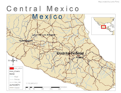
"GIS is not just about making maps". In this map ArcGIS was used to show central Mexico states with a population of over 1 million. An inset map was used to show the location of central Mexico in relation to the surrounding areas. Trying to remember various steps from the prior week's lab was a challenge.
No comments:
Post a Comment