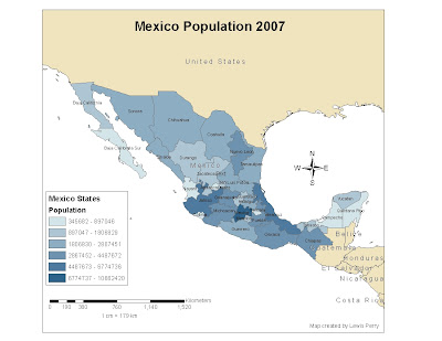
 "GIS is not just about making maps". In this map ArcGIS was used to show population density in the Mexico states. The symbology used is graduated colors scheme with 6 classes. Trying to remember various steps from the prior week's lab was a challenge.
Saturday, January 30, 2010
Subscribe to:
Post Comments (Atom)
No comments:
Post a Comment